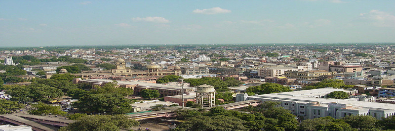
The city's coordinates are 26.4670° North and 80.3500° East. The Government of Uttar Pradesh has carved out the new district of Kanpur Dehat from the old Kanpur Rural district. Kanpur, along with Allahabad and Fatehpur, are part of the Lower Doab, which in antiquity was known as the Vatsa country. It is surrounded by two main rivers of India, the Ganges in the northeast and the Pandu River (Yamuna) in the south. The districts surrounding Kanpur are Hamirpur in the south and Unnao in the north-east. The arid region of Bundelkhand lies just south of Kanpur. Kanpur district along with Kanpur Dehat district lie between the fertile Doab region of the Ganges and Yamuna rivers. The river Yamuna marks the boundary between the Avadh and Bundelkhand regions.....wikipedia

| © 2017-18 Hotelsinkanpur.co.in All Rights Reserved. |
 Tour Packages
 Taxi
Taxi